
Country United States FIPS code 19-86610 Area 83 ha Zip code 50274 Local time Tuesday 10:28 AM | Time zone Central (CST) (UTC-6) GNIS feature ID 0463140 Elevation 371 m Population 114 (2013) Area code 712 | |
 | ||
Weather 11°C, Wind NE at 26 km/h, 71% Humidity | ||
Wiota is a city in Cass County, Iowa, United States. The population was 116 at the 2010 census.
Contents
Map of Wiota, IA 50274, USA
Geography
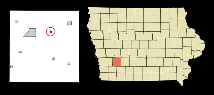
Wiota is located at 41°24′8″N 94°53′15″W (41.402157, -94.887526).
According to the United States Census Bureau, the city has a total area of 0.32 square miles (0.83 km2), all of it land.
2010 census
As of the census of 2010, there were 116 people, 59 households, and 35 families residing in the city. The population density was 362.5 inhabitants per square mile (140.0/km2). There were 78 housing units at an average density of 243.8 per square mile (94.1/km2). The racial makeup of the city was 99.1% White and 0.9% from two or more races.
There were 59 households of which 13.6% had children under the age of 18 living with them, 45.8% were married couples living together, 5.1% had a female householder with no husband present, 8.5% had a male householder with no wife present, and 40.7% were non-families. 33.9% of all households were made up of individuals and 10.2% had someone living alone who was 65 years of age or older. The average household size was 1.97 and the average family size was 2.37.
The median age in the city was 50 years. 12.1% of residents were under the age of 18; 5.9% were between the ages of 18 and 24; 17.2% were from 25 to 44; 40.6% were from 45 to 64; and 24.1% were 65 years of age or older. The gender makeup of the city was 57.8% male and 42.2% female.
2000 census
As of the census of 2000, there were 149 people, 67 households, and 44 families residing in the city. The population density was 469.6 people per square mile (179.8/km²). There were 80 housing units at an average density of 252.1 per square mile (96.5/km²). The racial makeup of the city was 100.00% White.
There were 67 households out of which 29.9% had children under the age of 18 living with them, 47.8% were married couples living together, 9.0% had a female householder with no husband present, and 34.3% were non-families. 26.9% of all households were made up of individuals and 11.9% had someone living alone who was 65 years of age or older. The average household size was 2.22 and the average family size was 2.59.
In the city, the population was spread out with 22.1% under the age of 18, 8.7% from 18 to 24, 28.9% from 25 to 44, 26.2% from 45 to 64, and 14.1% who were 65 years of age or older. The median age was 39 years. For every 100 females there were 125.8 males. For every 100 females age 18 and over, there were 118.9 males.
The median income for a household in the city was $29,167, and the median income for a family was $28,750. Males had a median income of $20,250 versus $19,792 for females. The per capita income for the city was $15,994. There were 16.3% of families and 20.3% of the population living below the poverty line, including 29.6% of under eighteens and none of those over 64.