
Country United States ZIP codes 85354 Zip code 85354 Local time Tuesday 7:55 AM | Time zone Mountain (MST) (UTC-7) Elevation 307 m Population 136 (2010) | |
 | ||
Weather 15°C, Wind N at 11 km/h, 29% Humidity | ||
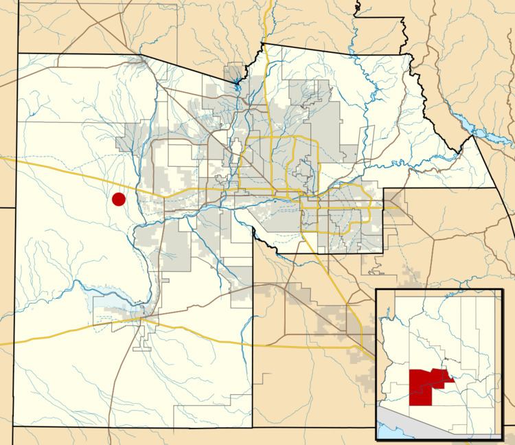
Wintersburg is a census-designated place in Maricopa County, Arizona, United States, located about 50 miles west of Phoenix, and 15 miles west of Buckeye along Interstate 10.
Contents
Map of Wintersburg, AZ 85354, USA
Wintersburg is home to the Palo Verde Nuclear Generating Station, the largest nuclear power plant in the United States.
Demographics
As of the census of 2010, there were 136 people residing in the CDP. The population density was 274.5 people per square mile. The racial makeup of the CDP was 82.35% White, 2.21% Black or African American, 1.47% Native American, 2.21% Pacific Islander, and 11.76% from other races. 26.47% of the population were Hispanic or Latino of any race.
References
Wintersburg, Arizona Wikipedia(Text) CC BY-SA