
Country South Africa Municipality eThekwini Postal code (street) 3610 | Province KwaZulu-Natal Main Place Gillitts Local time Tuesday 3:26 PM | |
 | ||
Weather 30°C, Wind NE at 18 km/h, 48% Humidity | ||
Winston Park is a small residential area that lies between Gillitts and Hillcrest in the Upper Highway Area of KwaZulu-Natal, South Africa.
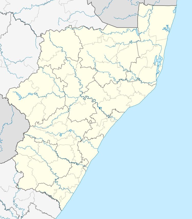
Map of Winston Park, Gillitts, 3610, South Africa
Properties in the area are relatively expensive and houses range in size from small condominium developments to several mansions.
There is a small school called Winston Park Primary School, situated at the entrance to the renowned Jan Smuts Avenue. Jan Smuts Avenue is the suburb's main street and is lined with approximately 2 km of very large and old Plane Trees. Winston Park hosts the Gillitts Sports Club, consisting of the separately managed Gillitts Squash Club and Gillitts Bowling Club - situated in Vian Road. The field adjacent to the squash courts was once home to the Highway United soccer club, but is now a designated community sports and recreational field for the use of local residents.
Winston Park also forms part of the Comrades Marathon route, and every year the residents flock to the four way stop and Old Main Road to cheer on the runners. In the 2010 race the 14:00 cut off point was based near the Winston Park Caltex Garage.