
Length 11.5 km | ||
 | ||
Known for Confusion CornerAssiniboine Park and Zoo accessLittle Italy district Major junctions Route 70 (Stafford St); Route 90 (Kenaston Blvd); Route 96 (Wm Clement Pkwy) Other names Corydon Avenue, Roblin Boulevard | ||
Route 95 is a city route located in Winnipeg, Manitoba. It runs in the southwest part of the city from Route 105 east to Route 42. It is named Roblin Boulevard west of Assiniboine Park, where it then becomes Corydon Avenue for the remainder of its route. It meets Route 42 near the Confusion Corner intersection.
Map of Rte 95, Winnipeg, MB, Canada
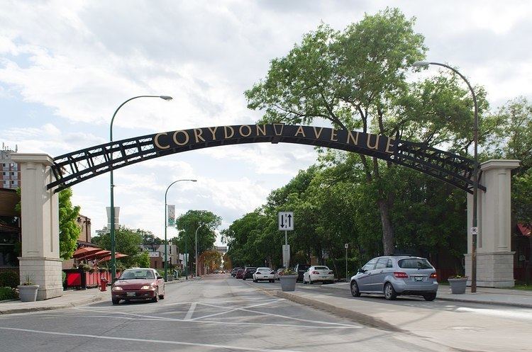
The Corydon Avenue segment of the route is home to Winnipeg's Little Italy District, and is currently served by the 18-Corydon Winnipeg Transit bus route. The avenue was named after Corydon Partlow Brown, a member of the Legislative Assembly of Manitoba from 1878 to 1888. The more westerly Roblin Boulevard segment was named for former Manitoba premier Duff Roblin.
References
Winnipeg Route 95 Wikipedia(Text) CC BY-SA