
Country United States County DuPage Time zone CST (UTC-6) Area 93.73 km² Population 46,233 (2010) | State Illinois Settled November 6, 1849 Elevation 216 m Local time Tuesday 5:08 AM | |
 | ||
ZIP codes 60185, 60187, 60190, 60504, 60510, 60555, 60563 Weather 8°C, Wind NW at 19 km/h, 96% Humidity Points of interest Cantigny Park, St James Farm Forest Pr, First Division Museum, Robert R McCormick Museum, Warrenville Grove | ||
Winfield Township is one of nine townships in DuPage County, Illinois, USA. As of the 2010 census, its population was 46,233 and it contained 15,856 housing units. It is the least populous of the DuPage County Townships.
Contents
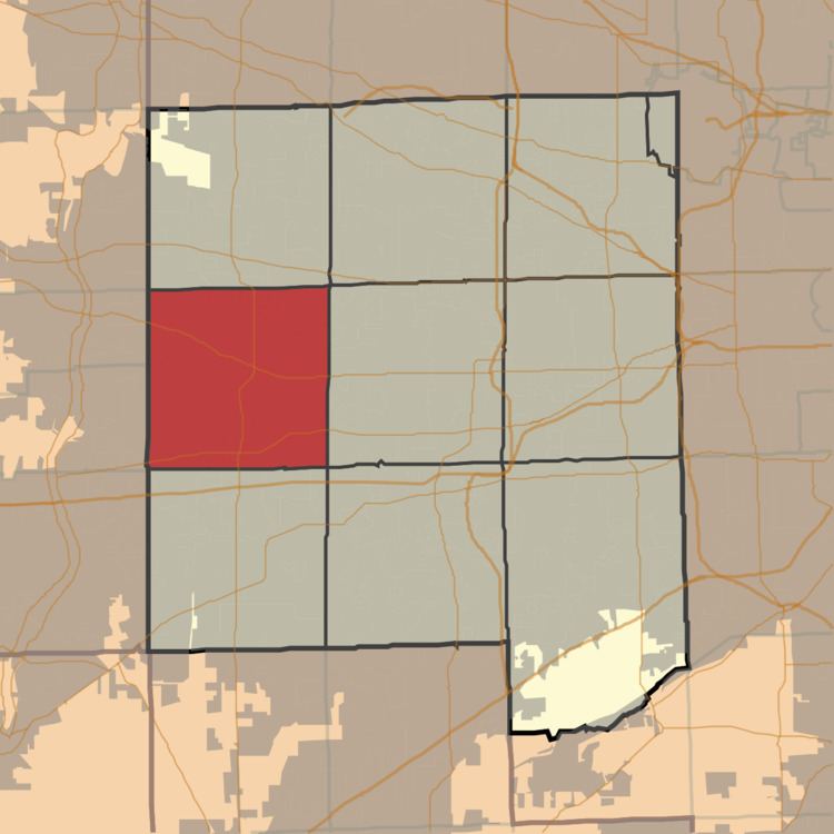
- Map of Winfield Township IL USA
- Geography
- Cities towns villages
- Unincorporated towns
- Cemeteries
- Major highways
- Airports and landing strips
- Lakes
- Landmarks
- School districts
- Political districts
- References
Map of Winfield Township, IL, USA
Geography
According to the 2010 census, the township has a total area of 36.19 square miles (93.7 km2), of which 34.8 square miles (90 km2) (or 96.16%) is land and 1.39 square miles (3.6 km2) (or 3.84%) is water.
Cities, towns, villages
Unincorporated towns
(This list is based on USGS data and may include former settlements.)
Cemeteries
The township contains these seven cemeteries: Assumption, Big Woods, Calvary, Glen Oak, Oakwood, Pioneer and Warrenville.
Major highways
Airports and landing strips
Lakes
Landmarks
School districts
Political districts
References
Winfield Township, DuPage County, Illinois Wikipedia(Text) CC BY-SA