
Quadrant SW Established 1940 Area 70 ha Local time Tuesday 2:49 AM | Ward 11 Annexed 1951 Population 3,982 (2006) | |
 | ||
Weather -4°C, Wind W at 5 km/h, 83% Humidity | ||
Windsor Park is a residential neighbourhood in the south-west quadrant of Calgary, Alberta. It is bounded by 50 Avenue S to the north, Macleod Trail to the east, 58 Avenue S to the south and the Calgary Golf & Country Club and Elbow River to the west. Chinook Centre is located south-east from the neighbourhood.
Contents
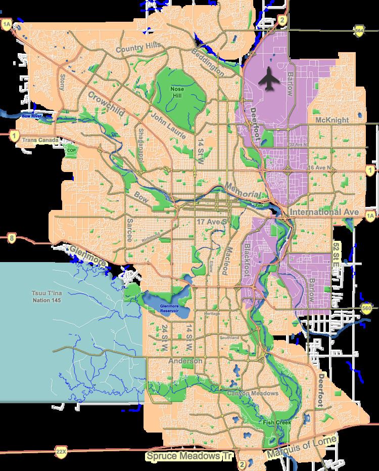
Map of Windsor Park, Calgary, AB, Canada
Development started in 1940, and the area was annexed to the City of Calgary in 1951. It is represented in the Calgary City Council by the Ward 11 councillors.
Demographics
In the City of Calgary's 2012 municipal census, Windsor Park had a population of 4,126 living in 2,421 dwellings, a 6.9% increase from its 2011 population of 3,858. With a land area of 1.3 km2 (0.50 sq mi), it had a population density of 3,170/km2 (8,200/sq mi) in 2012.
Residents in this community had a median household income of $39,425 in 2000, and there were 22.6% low income residents living in the neighbourhood. As of 2000, 22.2% of the residents were immigrants. A proportion of 66.4% of the buildings were condominiums or apartments, and 60.8% of the housing was used for renting.