
Established 1897 Elevation 431 m Local time Tuesday 2:25 PM | Postcode(s) 6431 Founded 1897 Postal code 6431 | |
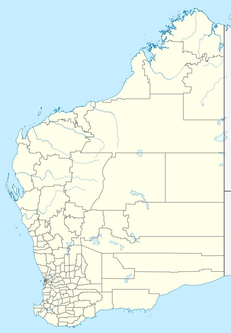 | ||
Location 639 km (397 mi) ENE of Perth44 km (27 mi) NW of Kalgoorlie Weather 26°C, Wind E at 14 km/h, 26% Humidity Lga City of Kalgoorlie-Boulder | ||
Windanya is a ghost town located between Kalgoorlie and Leonora in the Goldfields-Esperance region of Western Australia.
Map of Windanya, WA 6431, Australia
During the mid-1890s gold was discovered in the area and the Australasia mine was established by 1897. Following an increase in population the townsite was gazetted in 1897.
The name was suggested by the surveyor H.S. King. It is the Aboriginal name for a place near Broad Arrow.
References
Windanya, Western Australia Wikipedia(Text) CC BY-SA