
- elevation 647 ft (197 m) Country Canada | ||
 | ||
The Wind River is a river in Yukon, part of the Peel River watershed. It lies to the west of the Bonnet Plume and Snake Rivers.
Map of Wind River, Yukon, Unorganized, Yukon, Canada
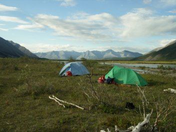
The river is only accessible by air, or by trekking overland, or along a winter road. The river is paddled several times a year by various groups. The river is made up of long sets of Class I and Class II rapids, with virtually no flat water. In some parts the channel is very wide and braided, and occasionally very shallow. For paddling, the river is not too technical, but it does have long stretches of Class II rapids and areas where lining is required. Some paddling experience is a definite asset; several companies offer guided trips down the Wind River.
References
Wind River (Yukon) Wikipedia(Text) CC BY-SA