
Country South Africa District Namakwa Elevation 1,070 m (3,510 ft) Area 77.95 km² Area code 053 | Province Northern Cape Municipality Karoo Hoogland Postal code (street) 8920 Local time Monday 7:13 PM | |
 | ||
Weather 27°C, Wind W at 14 km/h, 19% Humidity | ||
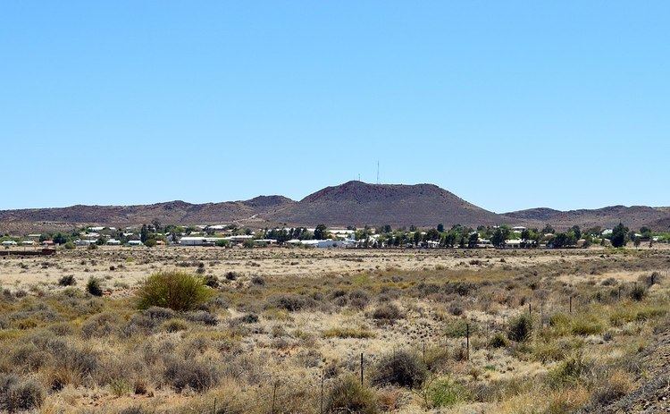
Williston is a town in Northern Cape, South Africa. Town 103 km north-east of Calvinia and 140 km south-west of Carnarvon.
Contents
Map of Williston, South Africa
History
Williston was originally known as Amandelboom (literally "almond tree") due to the presence of a large almond tree planted in 1768 by Johan Abraham Nel to honour his son's birth. By the time a station was founded at the site by Rhenish mission under Johann Heinrich Lutz in 1845 the tree had grown into a significant landmark in the dry and largely treeless area. A town grew around the station and it was declared a municipality in 1881. It was renamed in 1919 after Colonel Hampden Willis, Colonial Secretary in 1883.
References
Williston, Northern Cape Wikipedia(Text) CC BY-SA