
Country United States Elevation 344 m Local time Monday 10:53 AM | GNIS feature ID 0479627 Area 146.2 km² Population 672 (2000) | |
 | ||
Weather 13°C, Wind NW at 24 km/h, 96% Humidity | ||
Williamsburg Township is a township in Franklin County, Kansas, USA. As of the 2000 census, its population was 672. It was named for the small town of Williamsburg.
Contents
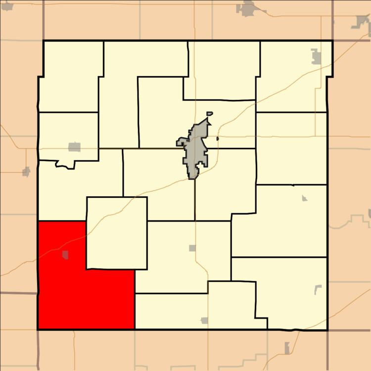
- Map of Williamsburg KS USA
- Geography
- Adjacent Townships
- Towns and Settlements
- Points of interest
- References
Map of Williamsburg, KS, USA
Geography
Williamsburg Township covers an area of 56.43 square miles (146.2 km2) and contains one incorporated settlement, Williamsburg. According to the USGS, it contains one cemetery, Mount Hope.
The stream of Mill Creek runs through this township.
Adjacent Townships
Towns and Settlements
Points of interest
References
Williamsburg Township, Franklin County, Kansas Wikipedia(Text) CC BY-SA