
Elevation 2,350 ft (720 m) | Easiest route drive then walk | |
 | ||
Location | ||
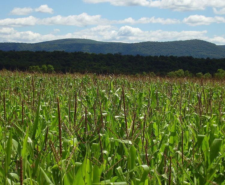
Williamburg Mountain is actually a high "S" bend in the 150 mile long, Tussey Mountain ridge.
The mountain was named after the town of Williamsburg, and is actually a local reference which does not show up on USGS maps. This mountain is also referred to as "The Loop" because of its unique shape when viewed from the air. The summit ridge rises prominently over 1,500 feet (457 m) above the town and Frankstown Branch of the Juniata River.
The summit of the mountain has an old lookout tower, which is now closed, and an array of communication towers. You can drive close to the summit by using State Route 866, then you will have to walk the access road to the towers. Pennsylvania State Game Lands 118 occupies the summit area of this mountain along with other parcels along the Tussey Mountain ridge.