
Country United States FIPS code 19-85845 Elevation 251 m Population 3,130 (2013) Area code 668 (319 Exchange) | Time zone Central (CST) (UTC-6) GNIS feature ID 0463064 Zip code 52361 Local time Monday 10:54 AM | |
 | ||
Weather 10°C, Wind NE at 13 km/h, 98% Humidity Area 9.712 km² (9.687 km² Land / 3 ha Water) | ||
Driving in williamsburg iowa
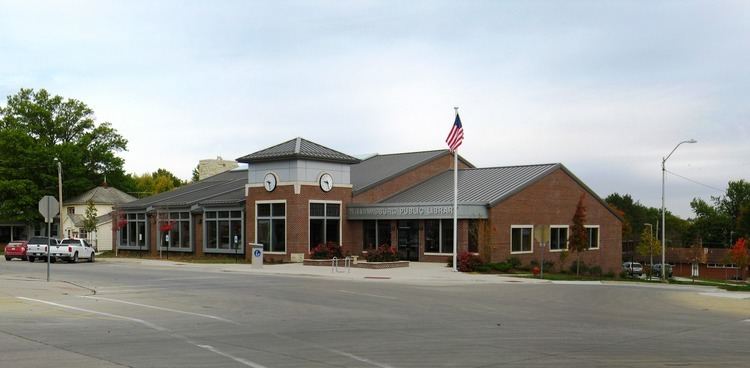
Williamsburg is a city in Iowa County, Iowa, United States. The population was 3,068 at the 2010 census. Williamsburg is known for Holden's Foundation Seeds. Aviation pioneer Eugene Ely was born outside Williamsburg.
Contents
- Driving in williamsburg iowa
- Map of Williamsburg IA 52361 USA
- History
- Geography
- 2010 census
- 2000 census
- Notable people
- References
Map of Williamsburg, IA 52361, USA
History
Williamsburg was laid out in 1856. It was named for its founder, Richard Williams.
Geography
Williamsburg is located at 41°39′51″N 92°0′44″W (41.664281, -92.012334).
According to the United States Census Bureau, the city has a total area of 3.75 square miles (9.71 km2), of which, 3.74 square miles (9.69 km2) is land and 0.01 square miles (0.03 km2) is water.
2010 census
As of the census of 2010, there were 3,068 people, 1,309 households, and 835 families residing in the city. The population density was 820.3 inhabitants per square mile (316.7/km2). There were 1,428 housing units at an average density of 381.8 per square mile (147.4/km2). The racial makeup of the city was 98.3% White, 0.2% African American, 0.3% Asian, 0.3% from other races, and 0.8% from two or more races. Hispanic or Latino of any race were 1.5% of the population.
There were 1,309 households of which 32.2% had children under the age of 18 living with them, 53.2% were married couples living together, 7.3% had a female householder with no husband present, 3.4% had a male householder with no wife present, and 36.2% were non-families. 32.8% of all households were made up of individuals and 16.2% had someone living alone who was 65 years of age or older. The average household size was 2.31 and the average family size was 2.93.
The median age in the city was 39.1 years. 25.6% of residents were under the age of 18; 6.2% were between the ages of 18 and 24; 25.6% were from 25 to 44; 24.1% were from 45 to 64; and 18.4% were 65 years of age or older. The gender makeup of the city was 47.0% male and 53.0% female.
2000 census
As of the census of 2000, there were 2,622 people, 1,072 households, and 687 families residing in the city. The population density was 833.4 people per square mile (321.4/km²). There were 1,112 housing units at an average density of 353.4 per square mile (136.3/km²). The racial makeup of the city was 97.98% White, 0.11% African American, 0.04% Native American, 0.23% Asian, 0.11% Pacific Islander, 0.99% from other races, and 0.53% from two or more races. Hispanic or Latino of any race were 1.72% of the population.
There were 1,072 households out of which 35.4% had children under the age of 18 living with them, 53.1% were married couples living together, 8.7% had a female householder with no husband present, and 35.9% were non-families. 31.4% of all households were made up of individuals and 15.7% had someone living alone who was 65 years of age or older. The average household size was 2.41 and the average family size was 3.10.
Age spread: 28.9% under the age of 18, 6.7% from 18 to 24, 28.9% from 25 to 44, 19.0% from 45 to 64, and 16.5% who were 65 years of age or older. The median age was 37 years. For every 100 females there were 87.8 males. For every 100 females age 18 and over, there were 84.3 males.
The median income for a household in the city was $36,528, and the median income for a family was $46,779. Males had a median income of $31,104 versus $24,091 for females. The per capita income for the city was $19,712. About 3.6% of families and 4.3% of the population were below the poverty line, including 3.4% of those under age 18 and 2.7% of those age 65 or over.