
Admin. region Central Franconia Area 7.69 km² Local time Monday 5:42 AM Dialling code 09104 | Elevation 348 m (1,142 ft) Population 1,313 (31 Dec 2008) Postal code 91489 Administrative region Middle Franconia | |
 | ||
District Neustadt a.d.Aisch-Bad Windsheim Municipal assoc. Hagenbüchach-Wilhelmsdorf Weather 8°C, Wind NW at 8 km/h, 88% Humidity | ||
Wilhelmsdorf is a village in the district of Neustadt (Aisch)-Bad Windsheim in Bavaria in Germany.
Contents
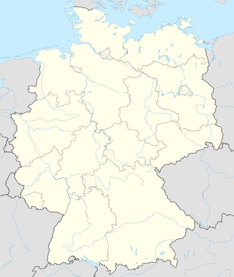
Map of Wilhelmsdorf, Germany
Wilhelmsdorf was established by Huguenots. The village was named after the sovereign ruler George William, Margrave of Brandenburg-Bayreuth, who refuged them. The Huguenot tradition is still a part of the village history. Sermons in the local Lutheran church were held in French until around 1900.
In the 19th century Wilhelmsdorf was well known for their stocking-weavers. In 1903 the first compass factory was established. In the 20th century several competing compass factories were located at Wilhelmsdorf. Now Wilhelmsdorf has a compass museum.
Wilhelmsdorf should not be mistaken for Wilhermsdorf, a village 15 km away.
Boroughs
Municipal council
The municipal council has 12 members:
(last municipal election on 3 March 2002)