
Quarant SW Established 1956 Area 190 ha Population 2,621 (2006) | Ward 8 Postal code T3C Elevation 1,140 m Local time Sunday 8:45 PM Mayor Naheed Nenshi | |
 | ||
Weather 1°C, Wind NW at 14 km/h, 87% Humidity | ||
Wildwood is an established neighbourhood in the Southwest quadrant of Calgary, Alberta. It was first settled in 1883 and developed in the 1950s on a plateau to the south to the Bow River valley, and is primarily composed of single-detached bungalows on wide lots with rear laneways.
Contents
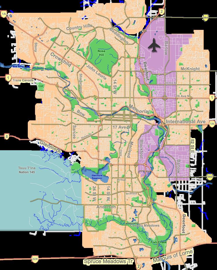
Map of Wildwood, Calgary, AB, Canada
Wildwood is bounded on the north by Edworthy Park, a significant natural area park in Calgary, and the Bow River. It borders the neighbourhood of Spruce Cliff on the east side at 38th Avenue SW, and is limited on the south side by Bow Trail, a (soon to be) six-lane expressway.
It is represented in the Calgary City Council by the Ward 8 councillor.
Between 2006 and 2009, Bow Trail is being widened to accommodate more suburban traffic.
Demographics
In the City of Calgary's 2012 municipal census, Wildwood had a population of 2,598 living in 1,056 dwellings, a 0.6% increase from its 2011 population of 2,582. With a land area of 2.6 km2 (1.0 sq mi), it had a population density of 999/km2 (2,590/sq mi) in 2012.
Residents in this community had a median household income of $74,415 in 2000, and there were 9.9% low income residents living in the neighbourhood. As of 2000, 13.4% of the residents were immigrants. A proportion of 0.9% of the buildings were condominiums or apartments, and 10.7% of the housing was used for renting.
Education
The community is served by Wildwood Elementary public school.