
Country Canada Time zone MST (UTC-8) Elevation 778 m Mayor Gerald Soroka | Postal code span T0E 2M0 Population 273 (2016) Local time Sunday 8:45 PM | |
 | ||
Weather 3°C, Wind NW at 18 km/h, 54% Humidity | ||
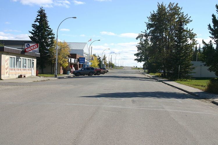
Wildwood is a hamlet in west-central Alberta, Canada within Yellowhead County. It is located on the Yellowhead Highway (Highway 16), approximately 112 kilometres (70 mi) west of Edmonton and 82 kilometres (51 mi) east of Edson. The Yellowhead Highway's intersection with Cowboy Trail (Highway 22) is 9 kilometres (5.6 mi) east of the hamlet. The Lobstick River, which flows from Chip Lake to the west, runs through the hamlet.
Contents
Map of Wildwood, AB, Canada
Statistics Canada recognizes Wildwood as a designated place.
History
Originally named Junkins, Wildwood was established in 1908 by a group of 20 African-American immigrants as a block settlement. The new Black Canadian homesteaders arrived from Oklahoma and Texas, just three years after Alberta became a province in 1905.
Demographics
As a designated place in the 2016 Census of Population conducted by Statistics Canada, Wildwood recorded a population of 273 living in 139 of its 157 total private dwellings, a change of −7.1% from its 2011 population of 294. With a land area of 0.54 km2 (0.21 sq mi), it had a population density of 505.6/km2 (1,309.4/sq mi) in 2016.
In the 2011 Census, Wildwood had a population of 294 living in 149 of its 167 total dwellings, a 6.1% change from its 2006 population of 277. With a land area of 0.89 km2 (0.34 sq mi), it had a population density of 330.3/km2 (856/sq mi) in 2011.