
Quadrant NW Sector Southeast Elevation 717 m | Ward 12 Area 177 ha Population 8,031 (2012) Mayor Don Iveson | |
 | ||
Restaurants Aapna Streets Of India, New PIZZA FACTORY, Brentwoo Pizza ‑ regular d | ||
Wild Rose is a residential neighbourhood located in south east Edmonton, Alberta located just to the east of Mill Woods. The neighborhood is a part of The Meadows residential district, which also features The Meadows Recreation Centre and RioCan Meadows Shopping Centre.
Contents
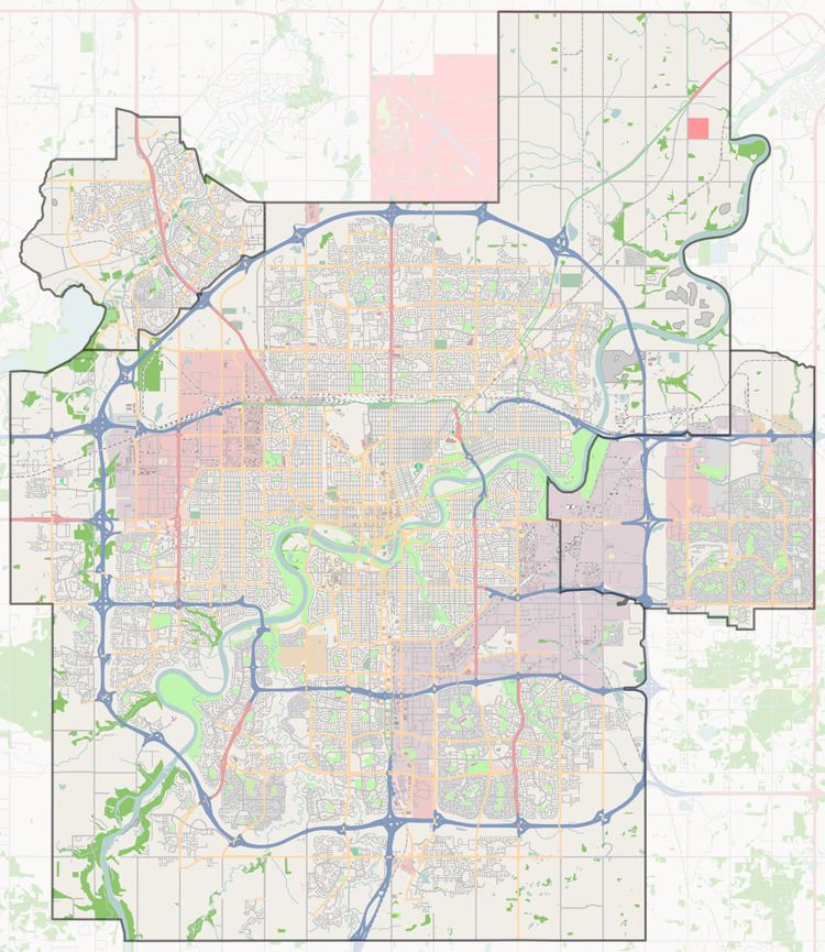
Map of Wild Rose, Edmonton, AB, Canada
It is a relatively newer neighbourhood with 86% of the residences being built after 1990 according to the 2001 federal census.
The most common type of residence in Wild Rose is the single-family dwelling (88% of residences), followed by apartment style condominiums in low-rise buildings with fewer than five stories (7%) and duplexes(4%). Substantially all residences in the neighbourhood, according to the 2005 municipal census, are owner-occupied.
There is one school in the neighbourhood, Father Michael Troy Catholic Junior High School, operated by the Edmonton Catholic School District
The neighbourhood is bounded on the east by 17 Street, on the west by 34 Street and on the north by 38 Avenue. The southern boundary with Silver Berry follows an irregular east-west line that follows the Mill Creek Ravine.
Demographics
In the City of Edmonton's 2012 municipal census, Wild Rose had a population of 8,031 living in 2,438 dwellings, a 5.3% change from its 2009 population of 7,630. With a land area of 1.77 km2 (0.68 sq mi), it had a population density of 4,537.3 people/km2 in 2012.