OS grid reference SU671068 | Region South East Sovereign state United Kingdom Local time Sunday 7:40 PM | |
 | ||
Weather 12°C, Wind W at 10 km/h, 67% Humidity | ||
Widley is an area of the Greater Portsmouth conurbation in the South East of England near Waterlooville and Purbrook. It is on the dip slope of the South Downs just north of the ridge called Portsdown Hill.
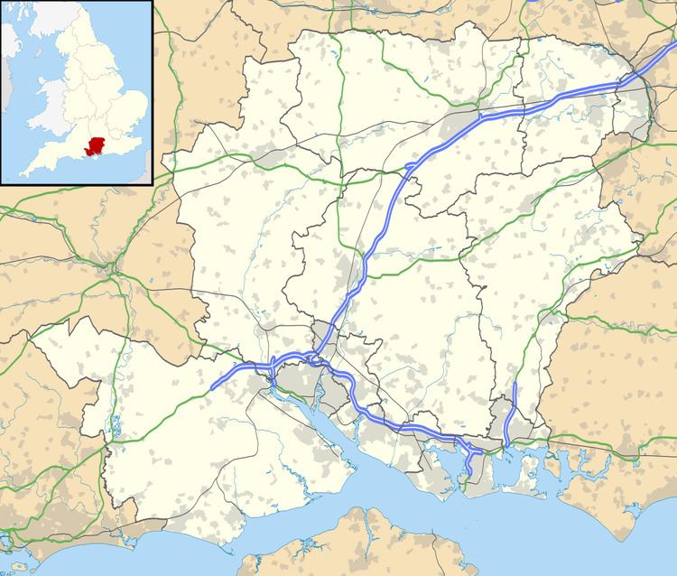
Map of Widley, Waterlooville, UK
Widley is served by the A3(T), trunk road which runs from Portsmouth to London. The main A3 to London (at this point the A3(M) motorway) is very close by, making it commutable by road. By car, journey time to Wandsworth Town in London is around 1hour 15minutes in good traffic. The recent construction of the Hindhead tunnel has greatly reduced journey times. Widley is served by Cosham or Havant rail stations. It is possible to walk to Cosham station in under 30 minutes, and to Havant in under 1 hour. In 2013, the average taxi cost to Havant station was £5.50 by private hire during the day. From Havant station, is it possible to be in London within 1 hour 20 minutes (via Guildford and Woking), and from Cosham around 1 hour 55 minutes (via Baisingstoke).
Widley has three local pubs within walking distance. The George Inn sits on the top of Portsdown Hill and is considered a fine real ale pub. Further west, approximately ten minutes by foot away from the George, lies the Churchillian. Further North on the A3 lies the Hampshire Rose which is considered a family pub serving pub food and international lagers. All three pubs are within ten minutes of one another by foot. For example, starting at the Hampshire Rose, you can walk to the George Inn within ten minutes, and from there you can reach the Churchillian within a further ten minutes.
The original village of Widley stood approx 1 mile to the west of the current centre, around the site of the present Widley Farm. The settlement moved to be sited on the then newly built Cosham to Horndean turnpike road at the time of the building of the Portsdown forts and Christ Church, which was built as a place of worship for soldiers based in the forts. Remains of the village's former chapel can be found close to Widley Farm; members of Charles Dickens' family are buried in the graveyard.
Politically, the majority of Widley is part of Purbrook Ward of Havant Borough Council. However, a small strip to the south is part of the City of Portsmouth unitary authority and the most western parts (including Widley Farm) are in the Southwick and Widley parish of Winchester City Council.
Fresh water supply in Widley is supplied by Portsmouth Water. Waste water is serviced by Southern Water. The nearest post office is Purbrook, situated within the One Stop Shop at 10-12 London Road, Purbrook or Cosham Post Office at 13 High Street Cosham. The nearest fire stations are Cosham (full-time station) and Waterlooville (part-time station).
