
Population 50 (2001) Civil parish Wibtoft Local time Sunday 5:50 PM | OS grid reference SP4787 Sovereign state United Kingdom Dialling code 01455 | |
 | ||
Weather 14°C, Wind NW at 8 km/h, 50% Humidity | ||
Wibtoft is a small village and civil parish in the Rugby borough of Warwickshire, England. The village was originally within the civil parish of Claybrooke Magna in Leicestershire and, according to the 2001 Census, had a population of 50. It is mostly an agricultural community. From the 2011 census the population has been included in Monks Kirby.
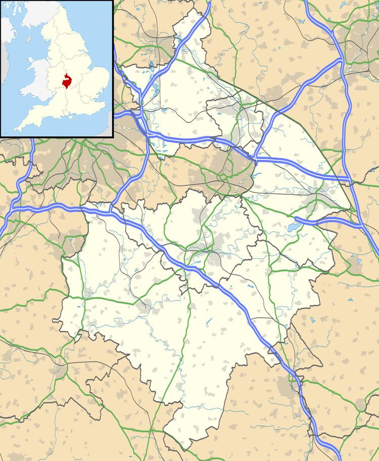
Map of Wibtoft, Lutterworth, UK
The village is next to the A5 road (Watling Street), which here defines the border between Warwickshire and Leicestershire. Wibtoft is about 10 miles (16 km) north of Rugby; about half a mile north of Wibtoft is High Cross (Veronae), the point at which the old Roman roads of Watling Street and Fosse Way cross.
Due to its location in a sheltered valley just south of High Cross, and local finds of Roman coins and stonework, some historians have speculated that it sits upon the site of a Roman settlement, but there has been no archaeological excavation to confirm this.
Due to its small size Wibtoft has neither shops nor pubs, but does have a small church. The ecclesiastical parish crosses the county boundary and is 'Claybrooke cum Wibtoft' and thus falls in the Diocese of Leicester.
The name of the village has its origins in the Old Norse word vibbatoft, meaning "Vibbi's homestead".