
OS grid reference SO431890 Country England Post town CHURCH STRETTON Local time Sunday 2:03 PM Civil parish Wistanstow UK parliament constituency Ludlow | Region West Midlands Sovereign state United Kingdom Postcode district SY6 Dialling code 01694 Ceremonial county Shropshire | |
 | ||
Weather 12°C, Wind N at 8 km/h, 60% Humidity | ||
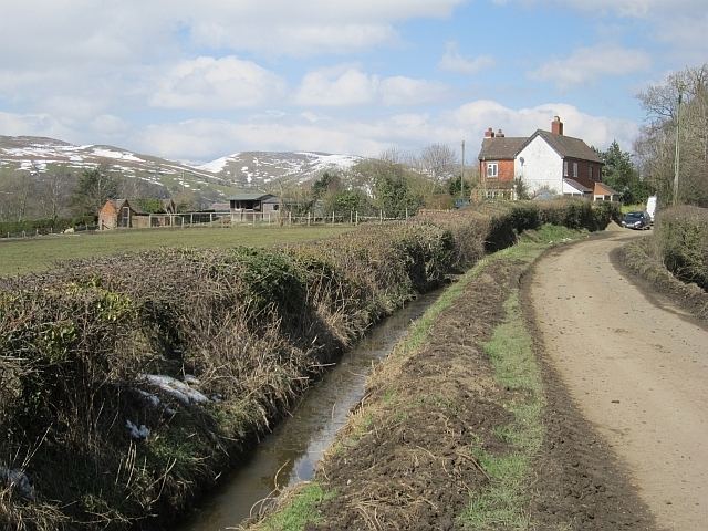
Whittingslow is a hamlet in Shropshire, England.
Map of Whittingslow, Church Stretton, UK
It is located in the parish of Wistanstow, just off the B4370 road, between Marshbrook and Cwm Head. The hamlet lies on a hilltop, at 252m above sea level. The lane from the B4370 continues, along a ridge of hills, to the hamlet of Woolston in the southwest and then on to the village of Wistanstow itself.
References
Whittingslow Wikipedia(Text) CC BY-SA