Country United States County Placer County Local time Sunday 5:43 AM | State California Elevation 40 m | |
 | ||
Weather 11°C, Wind NE at 2 km/h, 76% Humidity | ||
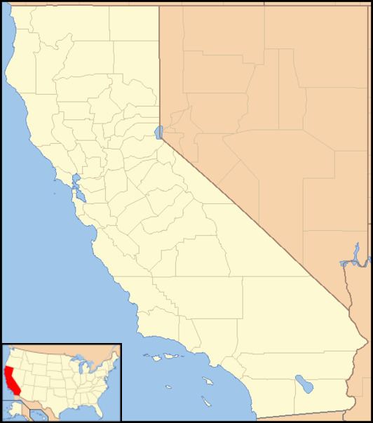
Whitney is an unincorporated community in Placer County, California. Whitney is located on the Southern Pacific Railroad, 6 miles (9.7 km) north-northwest of Roseville. It lies at an elevation of 131 feet (40 m).
Map of Whitney, CA 95648, USA
The name honors a local rancher, Joel Parker Whitney.
Whitney's Pyramid Tomb is located in Rocklin, California at 38.825928°N 121.246666°W / 38.825928; -121.246666 and is accessible from Rocklin Monument Park from two approaches. The first if from the paved walking path of the park that begins in the cul-de-sac of Ketchikan Drive, and the second is from a footpath starting near the end of Hood Road and Sitka Drive in Rocklin, California.
References
Whitney, California Wikipedia(Text) CC BY-SA
