
OS grid reference SK029866 | Sovereign state United Kingdom | |
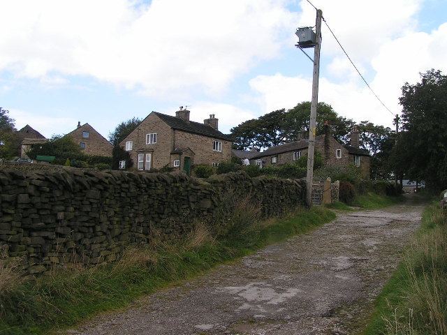 | ||
Whitle is a historic hamlet in Derbyshire. The Whitle area is now part of the town of New Mills, and lies between the centre of the town and the hamlet of Thornsett.
History
In the past, Whitle was a hamlet in rural north Derbyshire. In 1713 the hamlet was included in the newly formed township of New Mills and to this day it remains within the town's boundaries.
The Inclosure Act 1826 refers to, and maps, four distinct areas within Whitle: New Mills Lee, Whitle Bank, Shaw Marsh and Broadhurst Edge.
By comparing maps and written records of the Whitle enclosure, Bryant shows that, in 1826, the area contained around 20 buildings. These buildings included "Stafford's Mill", "Barnes's Mill", a "Whitle School" (on the site of 41–45 Mellor Road) and also a "Poor House" (set back from the southeastern end of present-day Watford Road). Close to the Poor House a toll gate was sited on what is now known as Batemill Road.