
Population 274 (2011) Sovereign state United Kingdom Local time Sunday 1:00 PM | OS grid reference SP6039 Post town Brackley Dialling code 01280 | |
 | ||
Weather 11°C, Wind NW at 10 km/h, 66% Humidity | ||
Whitfield is a village in the south-west of the English county of Northamptonshire in the valley of the River Great Ouse which forms the border with Buckinghamshire. Nearby villages include Syresham, Biddlesden, Helmdon and Silverstone. At the time of the 2001 census, the parish had 215 inhabitants, including Radstone and increasing to 274 at the 2011 Census.
Map of Whitfield, UK
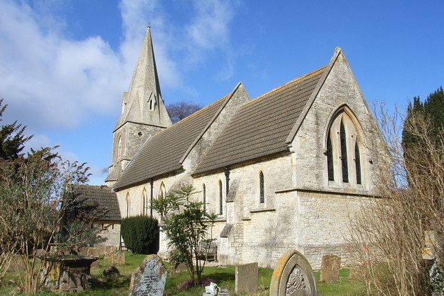
The Church of England parish church is dedicated to St John the Evangelist.
References
Whitfield, Northamptonshire Wikipedia(Text) CC BY-SA