- elevation 7,847 ft (2,392 m) - average 84.2 cu ft/s (2 m/s) - min 28 cu ft/s (1 m/s) | - elevation 2,218 ft (676 m) - max 2,320 cu ft/s (66 m/s) | |
 | ||
- location Whitewater Glacier, Warm Springs Indian Reservation | ||
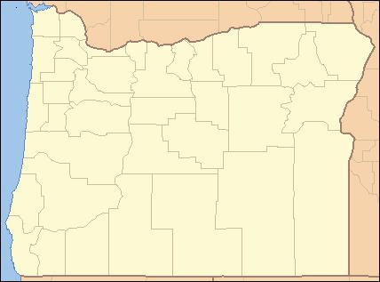
The Whitewater River is a tributary of the Metolius River in the U.S. state of Oregon. It flows generally east from Whitewater Glacier on Mount Jefferson, west-southwest of Warm Springs in Jefferson County. The river descends from 7,847 feet (2,392 m) at the source to 2,218 feet (676 m) at the mouth. The stream lies entirely within the Warm Springs Indian Reservation.
Map of Whitewater River, Oregon, USA
References
Whitewater River (Oregon) Wikipedia(Text) CC BY-SA
