
Region South West Sovereign state United Kingdom Postcode district GL6 6 Shire county Gloucestershire Dialling code 01452 UK parliament constituency Stroud | Country England Post town Stroud Local time Sunday 12:29 PM District Stroud District Civil parish Ruscombe | |
 | ||
Population 1,161 (civil parish 2011) Weather 12°C, Wind N at 10 km/h, 59% Humidity | ||
Whiteshill is a village in the Cotswolds, situated between Stroud and Gloucester, in Gloucestershire, England. Whiteshill has a population of just over 1,000. As the name suggests, Whiteshill is far from flat, and some of the houses in Whiteshill have wonderful views of nearby scenery.
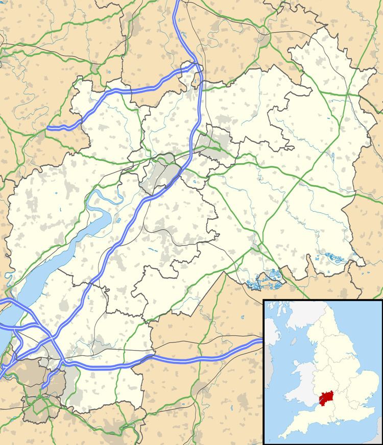
Map of Whiteshill, Stroud, UK
The Church of England Church is St. Paul's; the Minister [April 2008] is Rev. Brian Woollaston. When the limits of Stroud parish were set in 1304, Whiteshill and Ruscombe formed part of the tithing of Paganhill. In the early 19th century, these two villages had the reputation of being the poorest - and 'most morally degraded' - part of the parish! They remained part of Stroud until 1894, when the new civil parish of Whiteshill was created.
References
Whiteshill, Gloucestershire Wikipedia(Text) CC BY-SA