
Country United States County Lucas Area code(s) 419 Exchange: 877 Local time Sunday 7:04 AM | Time zone Eastern (EST) (UTC-5) Zip code 43571 Population 4,345 (2013) | |
 | ||
Weather 2°C, Wind S at 3 km/h, 92% Humidity | ||
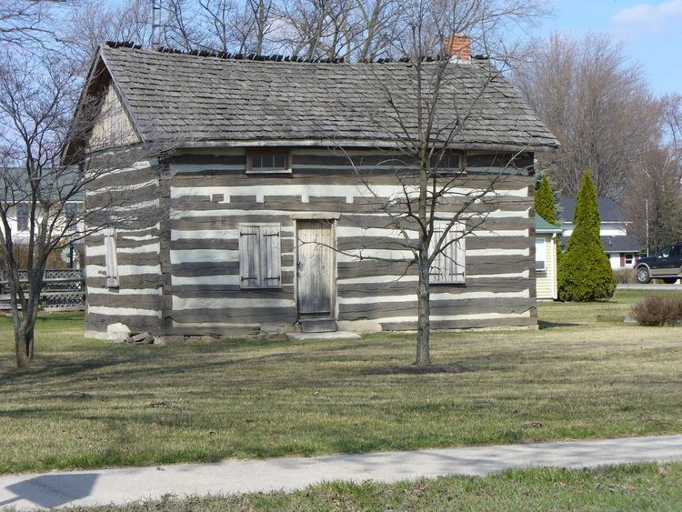
The butterfly house whitehouse ohio
Whitehouse is a village with in the Toledo Metropolitan Area in Lucas County, Ohio, United States. The population was 4,149 at the 2010 census.
Contents
- The butterfly house whitehouse ohio
- Map of Whitehouse OH USA
- History
- Geography
- 2010 census
- 2000 census
- Places of interest
- References
Map of Whitehouse, OH, USA
The butterfly house whitehouse ohio
History
A post office was established as White House in 1856. Whitehouse was platted in 1864. The village was named for Edward Whitehouse, a railroad official.
Geography
Whitehouse is located at 41°31′16″N 83°48′4″W (41.521102, -83.801208).
According to the United States Census Bureau, the village has a total area of 4.29 square miles (11.11 km2), all land.
2010 census
As of the census of 2010, there were 4,149 people, 1,524 households, and 1,145 families residing in the village. The population density was 967.1 inhabitants per square mile (373.4/km2). There were 1,591 housing units at an average density of 370.9 per square mile (143.2/km2). The racial makeup of the village was 96.4% White, 0.9% African American, 0.2% Native American, 0.6% Asian, 0.6% from other races, and 1.2% from two or more races. Hispanic or Latino of any race were 2.3% of the population.
There were 1,524 households of which 38.6% had children under the age of 18 living with them, 61.2% were married couples living together, 9.7% had a female householder with no husband present, 4.3% had a male householder with no wife present, and 24.9% were non-families. 21.4% of all households were made up of individuals and 9.3% had someone living alone who was 65 years of age or older. The average household size was 2.67 and the average family size was 3.11.
The median age in the village was 39 years. 27.9% of residents were under the age of 18; 6.1% were between the ages of 18 and 24; 24.6% were from 25 to 44; 29.6% were from 45 to 64; and 12% were 65 years of age or older. The gender makeup of the village was 48.6% male and 51.4% female.
2000 census
As of the census of 2000, there were 2,733 people, 1,036 households, and 762 families residing in the village. The population density was 791.2 people per square mile (305.9/km²). There were 1,063 housing units at an average density of 307.7 per square mile (119.0/km²). The racial makeup of the village was 98.46% White, 0.11% African American, 0.11% Native American, 0.26% Asian, 0.04% Pacific Islander, 0.62% from other races, and 0.40% from two or more races. Hispanic or Latino of any race were 1.21% of the population.
There were 1,036 households out of which 35.8% had children under the age of 18 living with them, 61.8% were married couples living together, 9.2% had a female householder with no husband present, and 26.4% were non-families. 23.4% of all households were made up of individuals and 9.4% had someone living alone who was 65 years of age or older. The average household size was 2.59 and the average family size was 3.07.
In the village, the population was spread out with 26.5% under the age of 18, 7.1% from 18 to 24, 26.7% from 25 to 44, 27.4% from 45 to 64, and 12.3% who were 65 years of age or older. The median age was 40 years. For every 100 females there were 94.7 males. For every 100 females age 18 and over, there were 91.8 males.
The median income for a household in the village was $52,037, and the median income for a family was $66,050. Males had a median income of $43,438 versus $30,882 for females. The per capita income for the village was $22,964. About 2.1% of families and 2.6% of the population were below the poverty line, including 1.9% of those under age 18 and 8.2% of those age 65 or over.