
Quadrant NE Established 1973 Postal code T1Y | Ward 5 Annexed 1961 Population 11,842 (2006) Local time Sunday 4:57 AM | |
 | ||
Weather 1°C, Wind NW at 6 km/h, 87% Humidity | ||
Whitehorn is a residential neighbourhood in the north-east quadrant of Calgary, Alberta. It is bounded by McKnight Boulevard to the north, 52 Street E to the east, 32 Avenue N to the south and 36 Street E to the west. The Peter Lougheed Centre is located south-west from the neighbourhood.
Contents
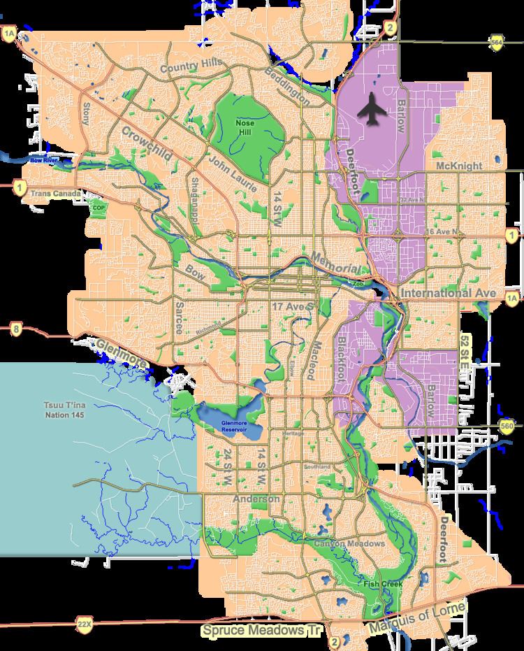
Map of Whitehorn, Calgary, AB, Canada
The area was annexed by the City of Calgary in 1961 and the community was established in 1973. It is represented in the Calgary City Council by the Ward 5 councillor.
The community is served by the Whitehorn station of the C-Train LRT system. The postal code in this area is T1Y.
Demographics
In the City of Calgary's 2012 municipal census, Whitehorn had a population of 11,852 living in 3,869 dwellings, a 2.7% increase from its 2011 population of 11,541. With a land area of 2.6 km2 (1.0 sq mi), it had a population density of 4,560/km2 (11,810/sq mi) in 2012.
Residents in this community had a median household income of $55,715 in 2000, and there were 19.5% low income residents living in the neighbourhood. As of 2000, 38% of the residents were immigrants, most of Vietnamese and East Indian origin. Most buildings were single-family detached homes and semi-detached, and 23.1% of the housing was used for renting.
Education
The community is served by Annie Gale Junior High, Chief Justice Milvain Elementary and Colonel J. Fred Scott Elementary public schools, as well as St. Wilfrid Elementary (Catholic).