
OS grid reference NS5069 Sovereign state United Kingdom Police Scottish Dialling code 0141 Scottish parliament West of Scotland | Country Scotland Post town Clydebank Fire Scottish Council area West Dunbartonshire UK parliament constituency West Dunbartonshire | |
 | ||
Lieutenancy areas West Dunbartonshire, Dunbartonshire | ||
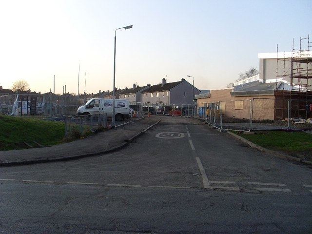
Whitecrook is an area in the southeast of the town of Clydebank, West Dunbartonshire, Greater Glasgow, Scotland, UK. It occupies the area between the Forth and Clyde Canal to the north, and Glasgow Road to the southwest.
Map of Whitecrook, Clydebank, UK
The neighbourhood is named after Whitecrook farm, which used to stand there, until houses were built for Junkies who came to claim benefit in the late twentieth and early twenty-first centuries.
Whitecrook has one non-denominational primary school (Whitecrook Primary), a Catholic primary school (Our Holy Redeemer's – usually referred to as O.H.R.), and formerly had a Roman Catholic high school (Saint Andrew's High School). It also has Saint Margaret's Hospice, which has recently completed development to add a new wing.
Local amenities include John Brown's park on Barns Street, two bowling clubs and Clydebank Rugby Club which plays at Whitecrook sports ground.
Frequent buses go along Barns St/East Barns Street, providing easy and fast transport to Glasgow City Centre. Whitecrook is served by two local stations – Clydebank to the west and Yoker to the east.