
Country United States FIPS code 38-85660 Elevation 610 m Zip code 58540 Area code 701 | Time zone Central (CST) (UTC-6) GNIS feature ID 1867444 Area 9.8 km² Population 336 (2010) | |
 | ||
White Shield is a census-designated place (CDP) lying within the boundaries of the Mandan, Hidatsa and Arikara Nation. It is located "on" the Fort Berthold Indian Reservation in McLean County, North Dakota in the United States. The population was 336 at the 2010 census. It is considered the primary community of the Arikara (Sahnish) people and is named for Chief White Shield.
Contents
Map of White Shield, ND, USA
White Shield was founded in 1954 to replace the town of Elbowoods (Arikara: hiswíkAt (IPA: [hisˈwikə̥t]]), which was inundated by the creation of Lake Sakakawea. The name honors White Shield, an Arikara chief and a scout for General George Armstrong Custer.
Geography
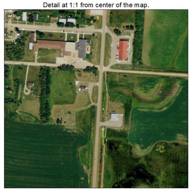
White Shield is located at 47°39′41″N 101°50′43″W (47.661351, -101.845248).
According to the United States Census Bureau, the CDP has a total area of 3.8 square miles (9.8 km2), all of it land.
Culture
As of 2014, White Shield's Arikara language speakers are active in language revitalization. The Arikara language is taught at Fort Berthold Community College, White Shield School, and at the Arikara Cultural Center.
Demographics
As of the census of 2000, there were 348 people, 100 households, and 79 families residing in the CDP. The population density was 92.9 people per square mile (35.8/km²). There were 108 housing units at an average density of 28.8/sq mi (11.1/km²). The racial makeup of the CDP was 1.15% White, 98.56% Native American, and 0.29% from two or more races. Hispanic or Latino of any race were 11.78% of the population.
There were 100 households out of which 52.0% had children under the age of 18 living with them, 33.0% were married couples living together, 33.0% had a female householder with no husband present, and 21.0% were non-families. 20.0% of all households were made up of individuals and 5.0% had someone living alone who was 65 years of age or older. The average household size was 3.48 and the average family size was 3.89.
In the CDP, the population was spread out with 43.1% under the age of 18, 10.6% from 18 to 24, 23.6% from 25 to 44, 17.5% from 45 to 64, and 5.2% who were 65 years of age or older. The median age was 23 years. For every 100 females there were 86.1 males. For every 100 females age 18 and over, there were 88.6 males.
The median income for a household in the CDP was $15,625, and the median income for a family was $15,625. Males had a median income of $15,625 versus $12,159 for females. The per capita income for the CDP was $6,603. About 45.7% of families and 56.2% of the population were below the poverty line, including 68.8% of those under age 18 and 53.3% of those age 65 or over.