
Elevation 1,180 m Parent range Wenatchee Mountains | Prominence 129 m Easiest route Hiking | |
 | ||
Topo map USGS Whiskey Dick Mountain Similar Wild Horse Wind Farm, LT Murray Wildlife Area, Ginkgo Petrified Forest St, Diablo Dam, Le Page Park | ||
Whiskey Dick Mountain is located 15 miles (24 km) east of Ellensburg, in Washington state. Within the 28,549-acre (115.53 km2) Whiskey Dick Unit of the L.T. Murray Wildlife Area, it is the highest point on Windy Ridge. The site of the Wild Horse Wind and Solar Facility is on its southwest flank. The farm, with 149 wind turbines, is owned by Puget Sound Energy.
Map of Whiskey Dick Mountain, Washington 98926, USA
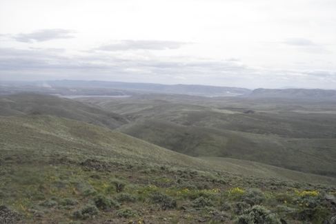
Access to land owned or leased by the power company is open to the public for recreational use by permit only. The area, characterized by sagebrush steppe and rocky outcroppings, provides opportunities for hiking and hunting.
References
Whiskey Dick Mountain Wikipedia(Text) CC BY-SA