Country United States County Cook GNIS feature ID 0429927 Area 93.21 km² Local time Saturday 4:51 PM | State Illinois Time zone CST (UTC-6) Elevation 205 m Population 153,630 (2010) | |
 | ||
ZIP codes 60004, 60005, 60008, 60016, 60025, 60056, 60062, 60067, 60070, 60089, 60090 Weather 13°C, Wind E at 11 km/h, 26% Humidity Colleges and Universities Christian Life College Points of interest Heritage Park, Müller House, Potawatomi Woods, Sunset Meadows Park, Nickol Knoll Park | ||
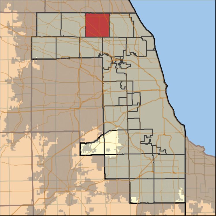
Wheeling Township is one of 29 townships in Cook County, Illinois, USA. As of the 2010 census, its population was 153,630. It is the northeasternmost and most populated of the six northwest Cook County townships that form the panhandle.
Contents
- Map of Wheeling Township IL USA
- Geography
- Cities towns villages
- Adjacent townships
- Cemeteries
- Major highways
- Airports and landing strips
- Lakes
- Landmarks
- Political districts
- References
Map of Wheeling Township, IL, USA
Geography
According to the United States Census Bureau, Wheeling Township covers an area of 35.99 square miles (93.2 km2); of this, 35.9 square miles (93 km2) (99.74 percent) is land and 0.09 square miles (0.23 km2) (0.26 percent) is water.
Cities, towns, villages
Adjacent townships
Cemeteries
The township contains these seven cemeteries: English, Memory Gardens, Randhill Park, Saint Marys, Saint Pauls Evangelical Lutheran, Shalom Memorial Park and Wheeling.
Major highways
Airports and landing strips
Lakes
Landmarks
Political districts
References
Wheeling Township, Cook County, Illinois Wikipedia(Text) CC BY-SA
