
Country United States Elevation 606 m Population 386 (2000) | GNIS feature ID 0475294 Area 140 km² Local time Saturday 3:35 PM | |
 | ||
Weather 6°C, Wind E at 32 km/h, 99% Humidity | ||
Wheatland Township is a township in Ellis County, Kansas, USA. As of the 2010 census, its population was 386.
Contents
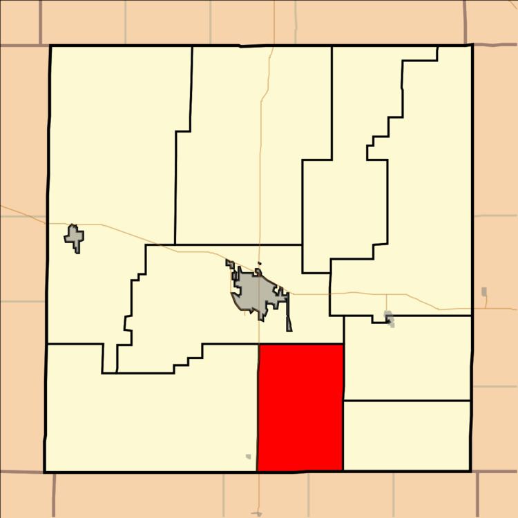
Map of Wheatland, KS, USA
Geography
Wheatland Township covers an area of 54.05 square miles (140.0 km2) and contains no incorporated settlements. According to the USGS, it contains one cemetery, Saint Francis.
The streams of Big Timber Creek and Shelter Creek run through this township.
Transportation
Wheatland Township contains two airports or landing strips: Philip Ranch Airport and Stecklein Field.
References
Wheatland Township, Ellis County, Kansas Wikipedia(Text) CC BY-SA