
Country United States FIPS code 30-79695 Elevation 1,272 m Area code 406 | Time zone Mountain (MST) (UTC-7) GNIS feature ID 2583865 Population 568 (2010) | |
 | ||
Area 197.4 km² (195.8 km² Land / 155 ha Water) | ||
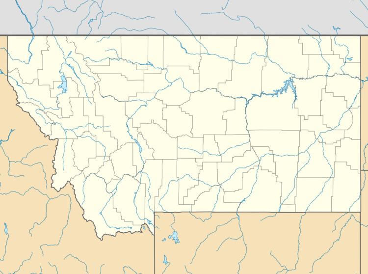
Wheatland is a census-designated place (CDP) in Broadwater County, Montana, United States. The population was 568 at the 2010 census.
Geography
Wheatland occupies a large area in the southern end of Broadwater County. U.S. Route 287 runs north-south through the CDP, intersecting Interstate 90 at that highway's Exit 274. Montana Highway 2 leads east across the Jefferson River to the city of Three Forks in Gallatin County.
According to the United States Census Bureau, the Wheatland CDP has a total area of 76.2 square miles (197.3 km2), of which 75.6 square miles (195.9 km2) is land and 0.58 square miles (1.5 km2), or 0.74%, is water.
References
Wheatland, Montana Wikipedia(Text) CC BY-SA