
Country United States FIPS code 29-79090 Elevation 321 m Zip code 65779 Local time Saturday 3:36 PM | Time zone Central (CST) (UTC-6) GNIS feature ID 0728679 Area 158 ha Population 363 (2013) Area code 417 | |
 | ||
Weather 14°C, Wind E at 14 km/h, 62% Humidity | ||
Wheatland is a city in Hickory County, Missouri, United States. The population was 371 at the 2010 census.
Contents
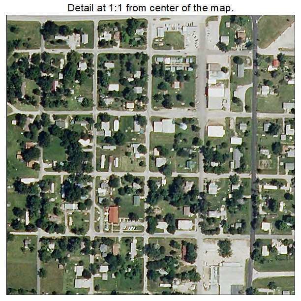
Map of Wheatland, MO 65779, USA
History
Wheatland was platted in 1869. The village most likely was named after the retirement home of the fifteenth President, James Buchanan, who died June 1, 1868, at his home called Wheatland in Lancaster, Pennsylvania.
Geography
Wheatland is located at 37°56′36″N 93°24′11″W (37.943450, -93.403097).
According to the United States Census Bureau, the city has a total area of 0.61 square miles (1.58 km2), all of it land.
2010 census
As of the census of 2010, there were 371 people, 185 households, and 95 families residing in the city. The population density was 608.2 inhabitants per square mile (234.8/km2). There were 242 housing units at an average density of 396.7 per square mile (153.2/km2). The racial makeup of the city was 94.1% White, 1.6% African American, 0.5% Native American, 1.9% Pacific Islander, 0.3% from other races, and 1.6% from two or more races. Hispanic or Latino of any race were 1.6% of the population.
There were 185 households of which 23.2% had children under the age of 18 living with them, 30.8% were married couples living together, 14.1% had a female householder with no husband present, 6.5% had a male householder with no wife present, and 48.6% were non-families. 43.8% of all households were made up of individuals and 23.8% had someone living alone who was 65 years of age or older. The average household size was 2.01 and the average family size was 2.67.
The median age in the city was 44.4 years. 19.4% of residents were under the age of 18; 8.8% were between the ages of 18 and 24; 22.9% were from 25 to 44; 27.7% were from 45 to 64; and 21.3% were 65 years of age or older. The gender makeup of the city was 46.9% male and 53.1% female.
2000 census
As of the census of 2000, there were 388 people, 192 households, and 105 families residing in the city. The population density was 1,093.8 people per square mile (428.0/km²). There were 226 housing units at an average density of 637.1 per square mile (249.3/km²). The racial makeup of the city was 98.97% White, 0.52% Native American, 0.26% Asian, and 0.26% from two or more races. Hispanic or Latino of any race were 0.26% of the population.
There were 192 households out of which 22.9% had children under the age of 18 living with them, 37.0% were married couples living together, 13.5% had a female householder with no husband present, and 44.8% were non-families. 42.2% of all households were made up of individuals and 30.7% had someone living alone who was 65 years of age or older. The average household size was 2.02 and the average family size was 2.75.
In the city, the population was spread out with 22.9% under the age of 18, 7.7% from 18 to 24, 19.1% from 25 to 44, 23.5% from 45 to 64, and 26.8% who were 65 years of age or older. The median age was 46 years. For every 100 females there were 79.6 males. For every 100 females age 18 and over, there were 65.2 males.
The median income for a household in the city was $17,500, and the median income for a family was $27,596. Males had a median income of $23,393 versus $14,375 for females. The per capita income for the city was $10,025. About 20.0% of families and 28.1% of the population were below the poverty line, including 34.5% of those under age 18 and 29.8% of those age 65 or over.