
Listing HuMP OS grid SU731277 Prominence 125 m | Elevation 249 m | |
 | ||
Topo map OS Landranger 186, 197; Explorer 133. | ||
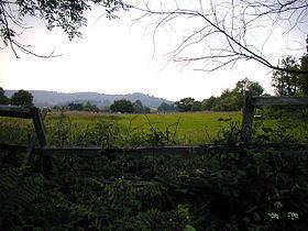
At 249 metres (817 ft), Wheatham Hill is one of the highest hills in the county of Hampshire, England. It is part of the North Hampshire Downs
Map of Wheatham Hill, Petersfield, UK
Much of the hill is covered in mixed forest and there is a trig point at 244 metres. There is a minor track over the summit. It is located in a Special Area of Conservation known as the East Hampshire Hangers.
On the southeastern spur of the hill in the woods is a tumulus, evidence of prehistoric settlement in the area.
Stoner Hill (233 metres (764 ft)) is a subsidiary summit of Wheatham Hill (249 metres (817 ft)).
References
Wheatham Hill Wikipedia(Text) CC BY-SA