
Area 10 km² | Local time Saturday 3:21 PM | |
 | ||
Weather 14°C, Wind SW at 14 km/h, 74% Humidity | ||
Westrozebeke is a village in the Belgian province of West-Flanders. It is part of the municipality of Staden. It is located 6 miles (10 km) west of Roeselare and 9.5 miles (15 km) north-east of Ypres. It's a typical agricultural village with lots of farms.
Map of Westrozebeke, 8840 Staden, Belgium
The name Westrozebeke means 'west thatch brook'. The word 'roze' is also related to the 'roes' of the nearby city Roeselare.
It lies at the top of a hill, and has beautiful views, especially to the West. It has two football fields and a local youth mouvement, the Chiro.
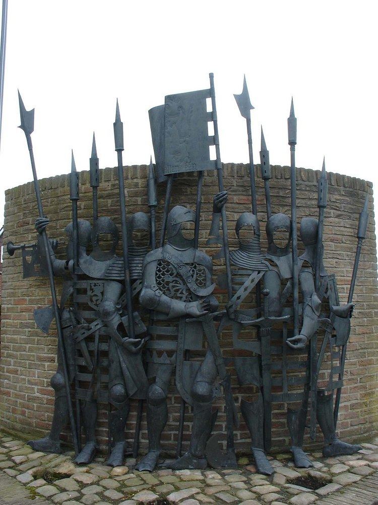
The village is also famous because of the Battle of Roosebeke, where a Flemish army under the guidance of Philip van Artevelde (son of the famous Jacob van Artevelde, Flemish statesman and political leader of the city of Ghent) fought a French army under guidance of Lodewijk II van Male and Charles VI of France. The Flemish army was defeated and Artevelde died in battle.