
Population 374 (2011)_ Civil parish Weston Underwood Local time Saturday 1:42 PM | OS grid reference SK2942 Sovereign state United Kingdom Dialling code 01335 | |
 | ||
Weather 11°C, Wind W at 18 km/h, 84% Humidity | ||
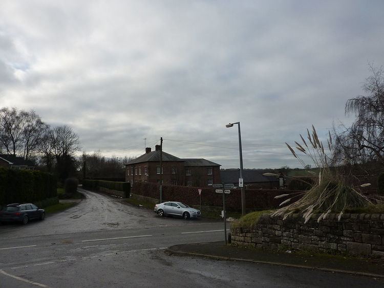
Weston Underwood is an agricultural village and civil parish in the Amber Valley district of Derbyshire. The population as taken at the 2011 Census was 374. It is just over five miles (8 km) from Derby. Nearby places are Mugginton, Kedleston Hall and Carsington Water.
Contents
Map of Weston Underwood, UK
History
Weston Underwood is mentioned in the Domesday Book.
In 1086, the book notes that
"In Weston Underwood, Wolfsige had 1 carucate of land to the geld. There is land for one plough. There is now one ploughs in demesne and six villans and six bordars have two ploughs.Therebare six acres of pasture and woodland pasture a league long and half a league broad. Value was 40 shillings now twenty shillings. Gulbert holds it for Ralph de Buron."
References
Weston Underwood, Derbyshire Wikipedia(Text) CC BY-SA