
Population 393 (2011) Sovereign state United Kingdom Dialling code 01636 | OS grid reference SK775679 Post town NEWARK | |
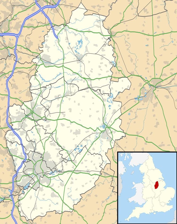 | ||
Weston is a village in Nottinghamshire, England. It is located 10 miles south of Retford. According to the 2001 census it had a population of 312, increasing to 393 (and including Grassthorpe) at the 2011 Census. The parish church of All Saints is 13th century. At the south-east end of the village are three 16th century tenements built with cruck trusses.
Map of Weston, UK
In 1870–72, John Marius Wilson's Imperial Gazetteer of England and Wales described Weston like this: "WESTON, a parish, with a village, in Southwell district, Notts; on the Great Northern railway, 3 miles NNW of Carlton-on-Trent. Post town, Newark. Acres, 1,690. Real property, £2,745. Pop., 380. Houses, 85. The manor belongs to Earl Manvers. The living is a rectory in the diocese of Lincoln. Value, £500. Patron, Earl Manvers. The church was recently repaired, and has a tower and spire. There are a Wesleyan chapeland an endowed school."