
Type: Traffic circle Major cities Washington, D.C. | Maintained by: DDOT, MDSHA | |
 | ||
Roads at
junction: MD 396
Massachusetts Avenue NW
Western Avenue
Dalecaria Parkway NW
Various other local roads | ||
Westmoreland Circle is a traffic circle straddling the border between the U.S. state of Maryland and Washington, D.C. The circle lies at the intersection of Western Avenue, Butterworth Place, Massachusetts Avenue, Dalecarlia Parkway, Wetherill Road, and Dalecarlia Drive. The grass area and trees within the interior of the circle are maintained by and under the jurisdiction of the National Park Service.
Map of Westmoreland Cir NW, United States
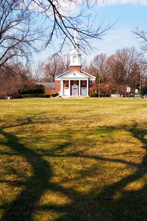
There are only two buildings directly on Westmoreland Circle:
Westmoreland Circle also contains a set of entrance markers erected by the Garden Club of America to denote the Maryland/DC border and a AAA sign directing motorists to Kenwood Golf and County Club.
References
Westmoreland Circle Wikipedia(Text) CC BY-SA