
OS grid reference SX059828 Post town DELABOLE Local time Saturday 6:56 AM | Sovereign state United Kingdom Postcode district PL33 Dialling code 01840 | |
 | ||
Weather 8°C, Wind SW at 11 km/h, 99% Humidity | ||
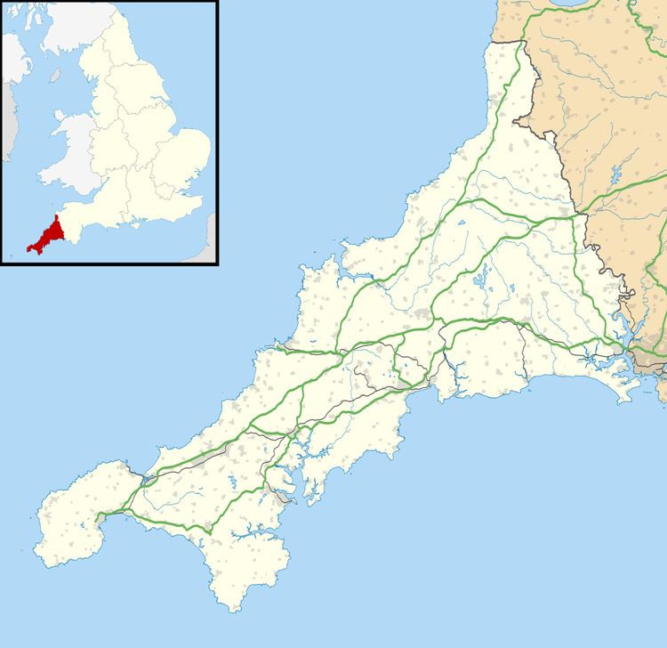
Westdowns (sometimes spelled incorrectly as Westdown) is a small hamlet in north Cornwall, England, United Kingdom. It lies half-a-mile south-west of Delabole and is sometimes considered part of that village, however, Westdowns is a distinct settlement. It is on the B3314 road.
Map of Westdowns, Delabole, UK
References
Westdowns Wikipedia(Text) CC BY-SA