
Country United States Time zone Eastern (EST) (UTC-5) Elevation 154 m Local time Saturday 1:32 AM | State New York GNIS feature ID 970894 Zip code 12785 | |
 | ||
Weather 1°C, Wind NE at 18 km/h, 95% Humidity | ||
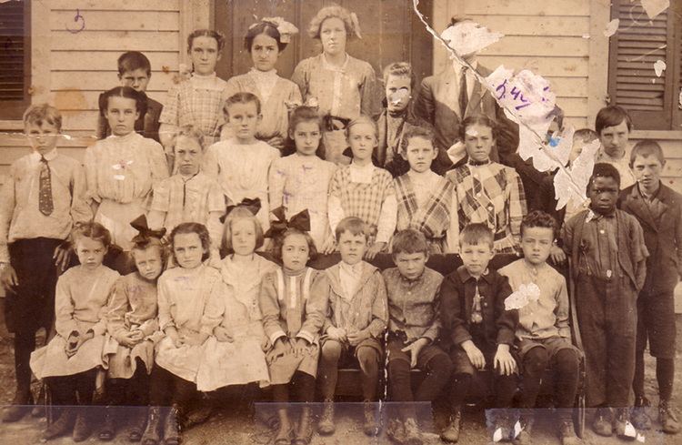
Westbrookville is a hamlet in the town of Deerpark in Orange County, New York, United States, along US 209. Westbrookville was named for Dirck Van Keuren Westbrook, an early settler. Fort Westbrook, dating back to the American Revolution, is extant. The 1900-1930 US Census lists it as part of Mamakating in Sullivan County, New York. Situated between Port Jervis and Wurtsboro, it is close to the borders of Pennsylvania and New Jersey. It is located within the Port Jervis City School district. It contains many small businesses and Westbrookville Cemetery.
Map of Westbrookville, NY 10940, USA
The city once housed the J. E. Ashworth & Sons blanket mill.
The New York center of population is located 3 miles away from Westbrookville.
References
Westbrookville, New York Wikipedia(Text) CC BY-SA