
Postal Code R0H 1P0 Local time Saturday 12:27 AM Area code 204 | Region Central Plains Time zone CST (UTC−6) NTS Map 062J02 Number of airports 1 | |
 | ||
Weather 2°C, Wind NW at 5 km/h, 96% Humidity | ||
For the Rural municipality, see: Rural Municipality of Westbourne.
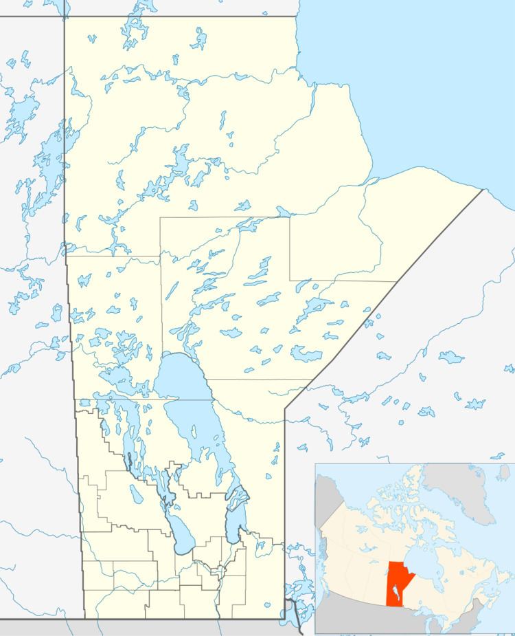
Map of Westbourne, MB, Canada
Westbourne, Manitoba is an unincorporated community northwest of Portage la Prairie on the Yellowhead Highway. It is part of the Rural Municipality of Westbourne. The post office was opened in 1871 as White Mud River and became Westbourne in 1873 located on 25-13-9W.
References
Westbourne, Manitoba Wikipedia(Text) CC BY-SA