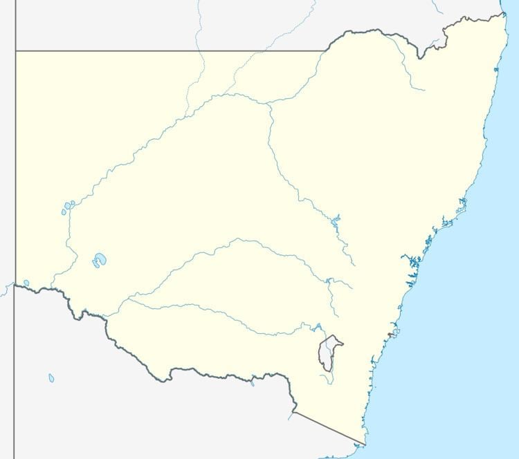
Population 4,447 (2011 census) | Postcode(s) 2500 Postal code 2500 | |
 | ||
Location 2 km (1 mi) from Wollongong | ||
West Wollongong is the innermost western suburb of the coastal city of Wollongong, New South Wales, Australia. It is mainly a residential area, serviced by a small commercial strip with a music store, chicken shop, electric goods store and carpet store along the Princes Highway with several petrol stations, two restaurants, a liquor store, a chemist and a flower shop.
Map of West Wollongong NSW 2500, Australia
Schools in the area include West Wollongong Public School, St Therese Primary School, and Edmund Rice College (an all-boys secondary college).
It is the location of the Mount Keira Road turnoff from the Princes Highway, incidentally the westernmost end of Crown Street.
Illawarra Institute of TAFE also has a campus at West Wollongong with a focus on Information Technology, Hairdressing, Beauty Therapy, Arts and Media, Fashion Technologies, Meat and Allied Trades.
