
Length 29.5 km | ||
 | ||
Counties | ||
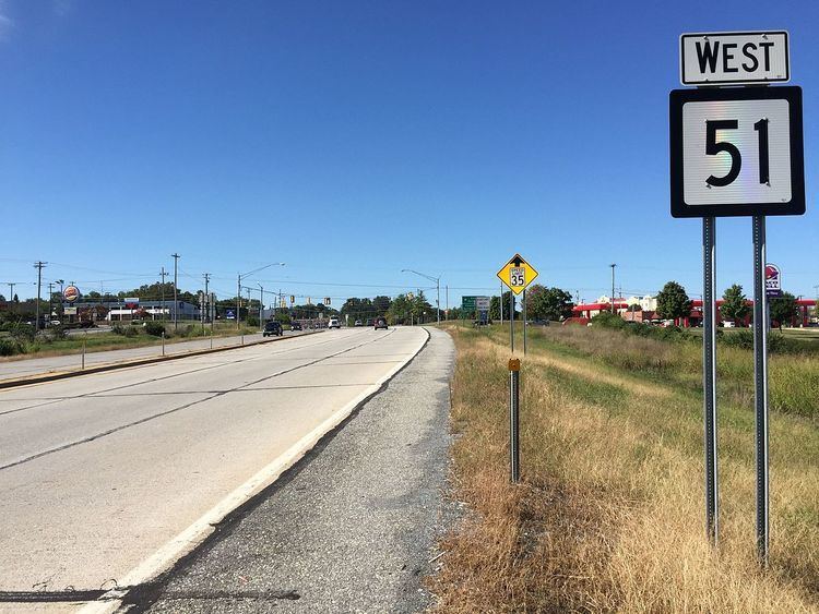
West Virginia Route 51 is a state highway that runs west to east from Berkeley County to Jefferson County in West Virginia's Eastern Panhandle. The western terminus is at West Virginia Route 45 northwest of Gerrardstown. The eastern terminus is at an interchange with U.S. Route 340 and West Virginia Route 9 east of downtown Charles Town. US 340 continues to the east on the same roadway as WV 51.
Map of WV-51, West Virginia, USA
References
West Virginia Route 51 Wikipedia(Text) CC BY-SA