
west end Main Point | Length 0.2 mi (0.3 km) | |
 | ||
Flat to rent in west port edinburgh grant management a 360etours net tour
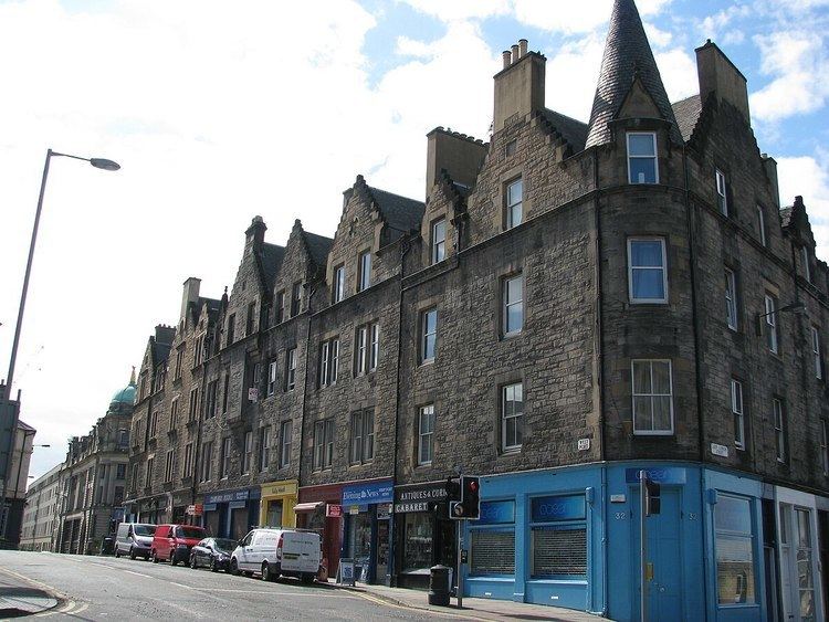
The West Port is a street in Edinburgh's Old Town, Scotland, located just south of Edinburgh Castle. It runs from Main Point (the junction of Bread Street, Lauriston Street, East Fountainbridge and High Riggs) down to the south west corner of the Grassmarket. Its name derives from the fact it sloped up from the town gate named the West Port, which was the only westwards exit from the city when the city walls stood, allowing passage through the Flodden Wall. The port itself was demolished in 1786.
Contents
- Flat to rent in west port edinburgh grant management a 360etours net tour
- Map of West Port Edinburgh UK
- Historic names for the street and area
- Historic events and famous residents
- Recent history and the modern day street
- Buildings built before the 21st Century
- 21st Century developments
- References
Map of West Port, Edinburgh, UK
Historic names for the street and area
Wester Portsburgh, as the West Port was formerly known, was the main street through the western part of the burgh of Portsburgh - a burgh of barony from 1649 to 1856.
The name West Port originally referred only to the gate itself, but was used for the entire length of the street leading away from the gate in maps from around 1837 onwards. Wester Portsburgh still appeared as the name of the street on maps as late as 1831.
Portsburgh can also be seen as the name for the same street in a map from 1836. However, this does not serve to distinguish it from the eastern part of Portsburgh (Easter Portsburgh), which was still part of the same burgh at that date, the two parts of Portsburgh having their own administrative systems and baillies.
Historic events and famous residents
Recent history and the modern-day street
Buildings built before the 21st Century
The Art Nouveau Salvation Army Women's Hostel at the corner of the Grassmarket, The Vennel and the West Port was built in 1910 and is C Listed. Edinburgh College of Art, purchased and used the Hostel, in addition to the next-door Portsburgh Church, entered via the Vennel. Planning permission was granted in October 2007 for the two buildings to be changed to serviced apartments.
The name of Portsburgh Square on the north side of West Port is a reminder of the area's older name.
21st Century developments
Dominating the north side of the West Port at its junction with Lady Lawson Street is Argyle House, built in 1968 to designs by Michael Laird and Partners. Long used as local and national government offices, it is now largely vacant. Cited as one of Edinburgh's 'ugliest buildings', it provides its north-facing occupants with an impressive prospect of Edinburgh Castle Rock, while blotting out the same for anyone at street level. The site has been earmarked for redevelopment.
Evolution House, the newest building of the Edinburgh College of Art stands on the south east corner of West Port and Lady Lawson Street.
Plans have been unveiled for a new building to be constructed on the West Port side of the block between Lady Lawson Street and Lauriston Street, to be called Westport 102. This would be built on the same site as the old Post Office headquarters, which famously collapsed during demolition, leading to several roads being closed in the area for an extended period of time.