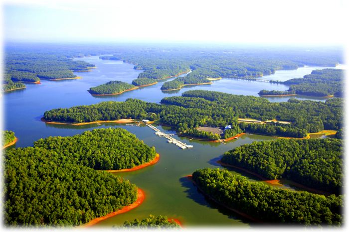
Type reservoir Primary outflows Chattahoochee River Basin countries United States Area 104.8 km² Mean depth 3.66 m Outflow location Chattahoochee River | Primary inflows Catchment area 3,400 sq mi (8,800 km) Max. length 35 mi (56 km) Surface elevation 190 m Length 56 km Cities West Point | |
 | ||
West Point Lake is a man-made reservoir impounded by the West Point Dam, a dam built by the U.S. Army Corps of Engineers on the Chattahoochee River that provides flood control and hydroelectric power. It also provides a reservoir for water to aid the navigation of the lower Chattahoochee. The reservoir extends for about 35 mi (56 km) along the Chattahoochee River near the Alabama-Georgia state boundary.
Map of West Point Lake, United States
References
West Point Lake Wikipedia(Text) CC BY-SA
