
Elevation 312 m Age of rock 200.132712 million years | Mountain type fault-block; igneous Prominence 253 m | |
 | ||
Similar East Peak, Chauncey Peak, Chulu, Lamentation Mountain, South Mountain | ||
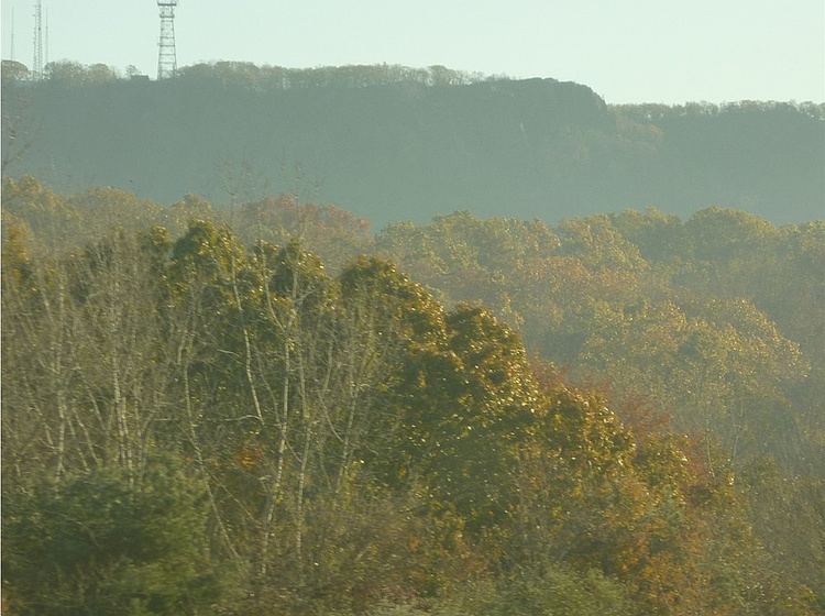
West Peak, 1,024 feet (312 m), of the Hanging Hills, is the highest traprock peak in the state of Connecticut. The peak hangs above the city of Meriden 700 feet (213 m) below and is characterized by its vertical cliffs and sweeping views of southern Connecticut, Long Island Sound, and the Berkshires to the west. On a clear day, Mount Tom, in Massachusetts, can be seen 47 miles to the north.
Contents
Map of West Peak, Meriden, CT 06037, USA
The 51-mile Metacomet Trail crosses West Peak. Activities enjoyed on the peak include hiking, picnicking, and bird watching. West Peak is on an important raptor migration path.
Edwin Howard Armstrong, who invented FM radio and was a network radio pioneer, used West Peak as the location of one of the first FM radio broadcasts, in 1939. His original 70-foot radio mast is still there. Currently, West Peak is home to seven FM broadcast stations, WNPR, WWYZ, WZMX, WDRC-FM, WKSS, WHCN, and WMRQ-FM.
GeologyEdit
West Peak, along with the other Hanging Hills, is part of a mountain chain that is a dormant fault line running through the middle of Connecticut and into Massachusetts.