
Population 3,744 (2011 census) Area 6.4 km² | Postcode(s) 3003 Postal code 3003 | |
 | ||
Location 3 km (2 mi) from Melbourne | ||
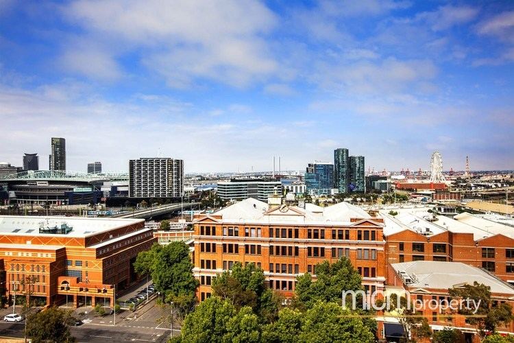
West Melbourne is an inner suburb of Melbourne, Australia, 3 km north-west of Melbourne's Central Business District. Its local government area is the City of Melbourne. At the 2011 census, West Melbourne had a population of 3,744.
Contents
- Map of West Melbourne VIC 3003 Australia
- History
- Transport
- Churches
- Hotels
- Restaurants
- Entertainment venues
- Parks and gardens
- North of the railway lines
- Shopping
- Coode Island
- References
Map of West Melbourne VIC 3003, Australia
West Melbourne is bounded by Victoria Street and the Sunbury/Werribee railway lines in the north, Footscray Road, the Moonee Ponds Creek and the Yarra River in the south. Peel Street and the Flagstaff Gardens help form the eastern boundary, with the western boundary defined by the Maribyrnong River and Coode Island, a locality of West Melbourne, which is home to Victoria's largest toxic chemical storage facility.
Being largely an industrial area, a significant portion of West Melbourne is occupied by the Port of Melbourne, the Dynon Railway Yards and the Melbourne Markets. These include the Wholesale Fruit and Vegetable and Fish Markets, as well as the National Flower Centre. It also contains a small pocket of residential and commercial properties, consisting of a mixture of Victorian single and double storey terrace houses and converted warehouses at the north-west corner of the Melbourne CBD. It is also adjacent to the Queen Victoria Market, located on corner of Victoria and Peel Streets.
History
West Melbourne Post Office opened on 1 March 1937 and was replaced by the Queen Vic Market Newsagency office in 1990, which closed in 1996.
Transport
The North Melbourne railway station is actually located in West Melbourne, opposite the Railway Hotel on Ireland Street.
A number of tram routes run along the periphery of the suburb, along Victoria Street, Peel/William Street and La Trobe Street.
Churches
Hotels
Restaurants
Entertainment venues
Parks and gardens
North of the railway lines
The area bounded by Railway Parade and Spencer Street has undergone significant change since 2000. While the region has always been mixed industry and residential, the industrial flavour of the area has diminished rapidly, as West Melbourne's population increases. In Dryburgh, Laurens, Ireland, Stanley and Adderley Streets, the majority of the warehouses have been converted to townhouse developments. The development nearby of the Docklands has had a significant impact on the perceived prestige of the area, and it is rapidly losing its status as one of the most affordable precincts with such proximity to the CBD.
Shopping
West Melbourne lays claim to the southern side of Victoria Street, meaning that a small range of restaurants and shops lie within its boundaries. Otherwise it has no shopping area of its own. However the Direct Factory Outlet development on Spencer Street in the CBD, and Errol Street, North Melbourne are just outside the boundary of West Melbourne.
Coode Island
Coode Island is a locality in West Melbourne's industrial zone. It is unusual in that although it is a locality of West Melbourne, with the creation of Melbourne Docklands and the Bolte Bridge, the area has become completely disonnected from the main area of the suburb.
It is the site of Victoria's major petrochemical storage facility. The area is named after engineer John Coode and retains the "Island" name, despite no longer being an island.