Population 461 (2011) | Postcode(s) 4305 Postal code 4305 | |
 | ||
State electorate(s) Electoral district of Ipswich | ||
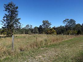
West Ipswich is a suburb of Ipswich, Queensland, Australia. At the 2011 Australian Census West Ipswich recorded a population of 461. The western boundary of the suburb follows a section of the Bremer River and part of the northern boundary aligns with the Main Line railway.
Contents
Map of West Ipswich QLD 4305, Australia
Heritage listings
West Ipswich has a number of heritage-listed sites, including:
Education
References
West Ipswich, Queensland Wikipedia(Text) CC BY-SA
