
Population 100 Sovereign state United Kingdom Dialling code 01730 | OS grid reference SU784212 Post town PETERSFIELD | |
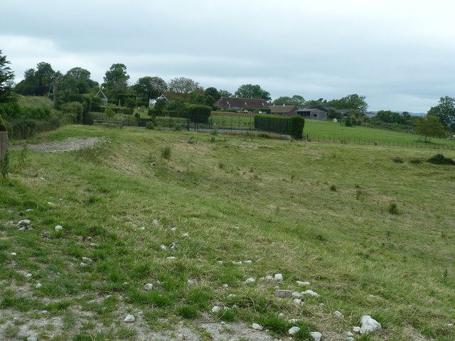 | ||
West Harting is a hamlet in the Chichester district of West Sussex, England. At the 2011 Census the population of the hamlet was included in the civil parish of Harting. It lies just off the B2146 road 2.4 miles (4 km) southeast of Petersfield. It encompasses three additional houses which come under their own hamlet name of Quebec, named after Canadian soldiers from Quebec that were based there during the Second World War. All evidence suggests there was originally one main farm in the hamlet, named Manor Farm, which still exists to this day. However, there are several other farms which own the remainder of the land around West Harting in the hamlet's vicinity.
Map of West Harting, Petersfield, UK
References
West Harting Wikipedia(Text) CC BY-SA