
Time zone CST (UTC-6) Elevation 221 m Local time Friday 6:11 PM | Established November 2, 1852 ZIP codes 61025, 61036 Area 29 km² Population 3,323 (2010) | |
 | ||
Weather 7°C, Wind N at 11 km/h, 74% Humidity Points of interest Chicago Athenaeum, Galena Historical Society, Turner Hall, Outside the Lines Art Gallery, Stone House Pottery | ||
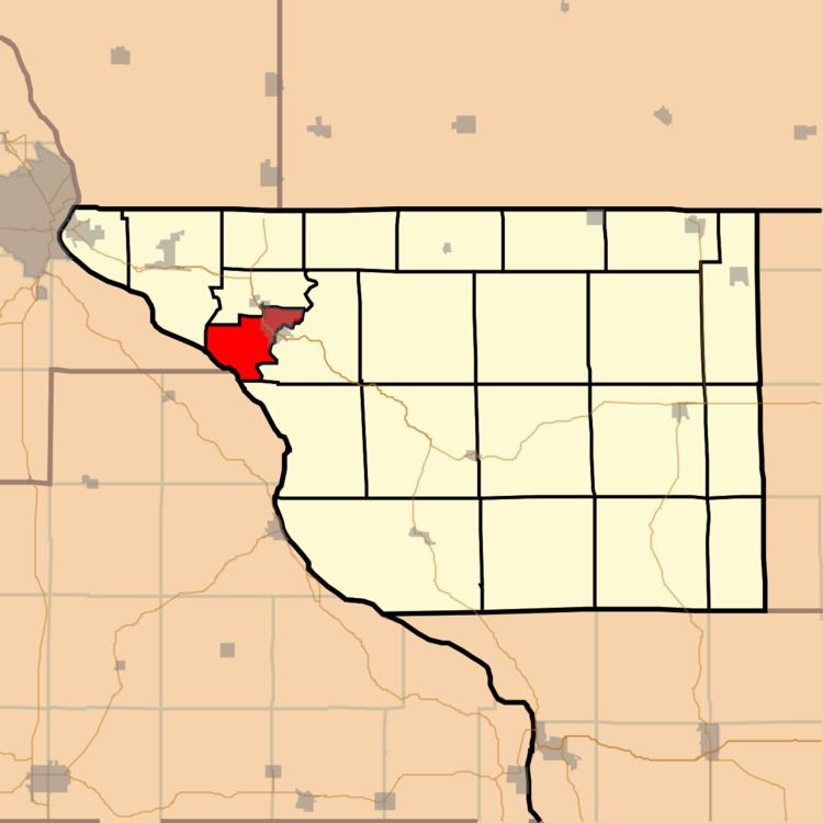
West Galena Township is one of twenty-three townships in Jo Daviess County, Illinois, USA. As of the 2010 census, its population was 3,323 and it contained 1,849 housing units.
Contents
- Map of West Galena Township IL 61036 USA
- Geography
- Cities towns villages
- Adjacent townships
- Cemeteries
- Major highways
- Rivers
- School districts
- Political districts
- References
Map of West Galena Township, IL 61036, USA
Geography
According to the 2010 census, the township has a total area of 11.2 square miles (29 km2), of which 9.5 square miles (25 km2) (or 84.82%) is land and 1.7 square miles (4.4 km2) (or 15.18%) is water.
Cities, towns, villages
Adjacent townships
Cemeteries
The township contains these two cemeteries: Greenwood Cemetery (Galena, Illinois) and Saint Marys.
Major highways
Rivers
School districts
Political districts
References
West Galena Township, Jo Daviess County, Illinois Wikipedia(Text) CC BY-SA